Acadia in five days
Maine’s only national park, on a long weekend from New Hope, PA — two days of driving wrapped around three days of hiking on Mount Desert Island. Anchored on the Precipice Trail, the iron-rung climb up Champlain’s cliff face, with Cadillac at sunrise and popovers at Jordan Pond to earn the miles back.
- Basecamp
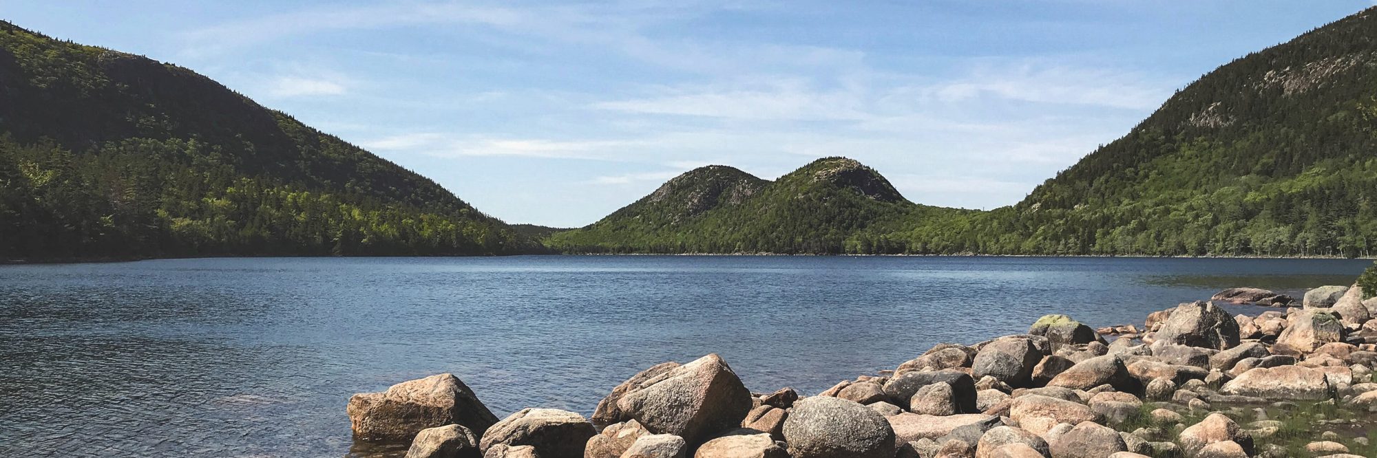
- Bar Harbor — three nights on Mount Desert Island
- Anchor
- Precipice Trail → Champlain Mountain — iron rungs, Day 3
- Getting there
- New Hope, PA → Bar Harbor ≈ 470 mi / ~8.5 h (split over Day 1)
- On foot
- 3 hiking days, ~14–18 miles total
- Book ahead
- Cadillac Summit Road vehicle reservation (recreation.gov)
- Season
- Best late Sept–mid Oct — foliage, and the falcon closures are lifted
- Park entrance — $35 / vehicle (7-day) or the $80 America the Beautiful annual pass. Buy on recreation.gov and display in the windshield.
- Cadillac Summit Road — a separate vehicle reservation is required, sunrise to sunset, May–Oct (recreation.gov, ~$6). Sunrise slots go fast — book the moment they release. Or skip the drive and earn it on the South Ridge Trail.
- Precipice & Beehive — closed mid-March to mid-August for peregrine falcon nesting, and again late-Oct–April for ice. A September–October trip clears both windows — the reason the anchor day works.
Trailhead parking inside the park is free with the entrance pass; on busy days the Island Explorer shuttle beats the lot scramble.
New Hope, PA → Portland, ME
Break the drive halfway rather than grinding the whole 8.5 hours in one go.
It’s about 330 miles / 5.5 hours to Portland — a clean two-thirds of the way, and one of the best food towns on the East Coast to spend an evening. Roll into the Old Port, walk the wharves, and eat well before the island. Tomorrow’s leg is short.
Arrive, and ease in on Jordan Pond
Finish the drive by midday, then a flat, postcard loop to find your island legs.
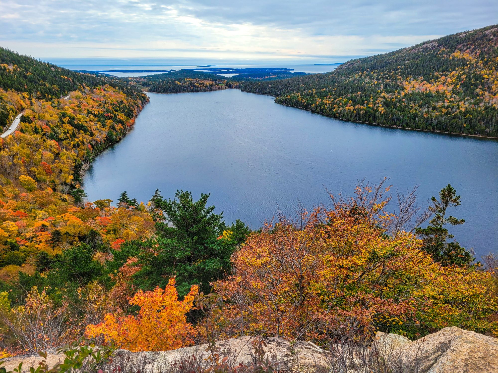
A near-flat circuit of the clearest pond in Maine, half of it on cedar-plank boardwalk, with the twin domes of The Bubbles framed at the far end. Add the short, steep spur up South Bubble to Bubble Rock — a glacial erratic perched improbably on the edge — for the classic look down the pond. Then popovers and tea on the lawn at Jordan Pond House, a ritual older than the park.
Parking fills by mid-morning; arriving after lunch on a travel day actually helps.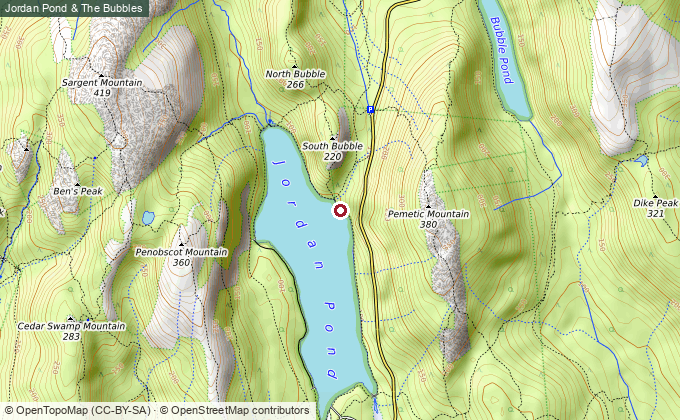
The Precipice
Acadia’s most thrilling hike — a vertical cliff climbed on iron rungs and ladders.
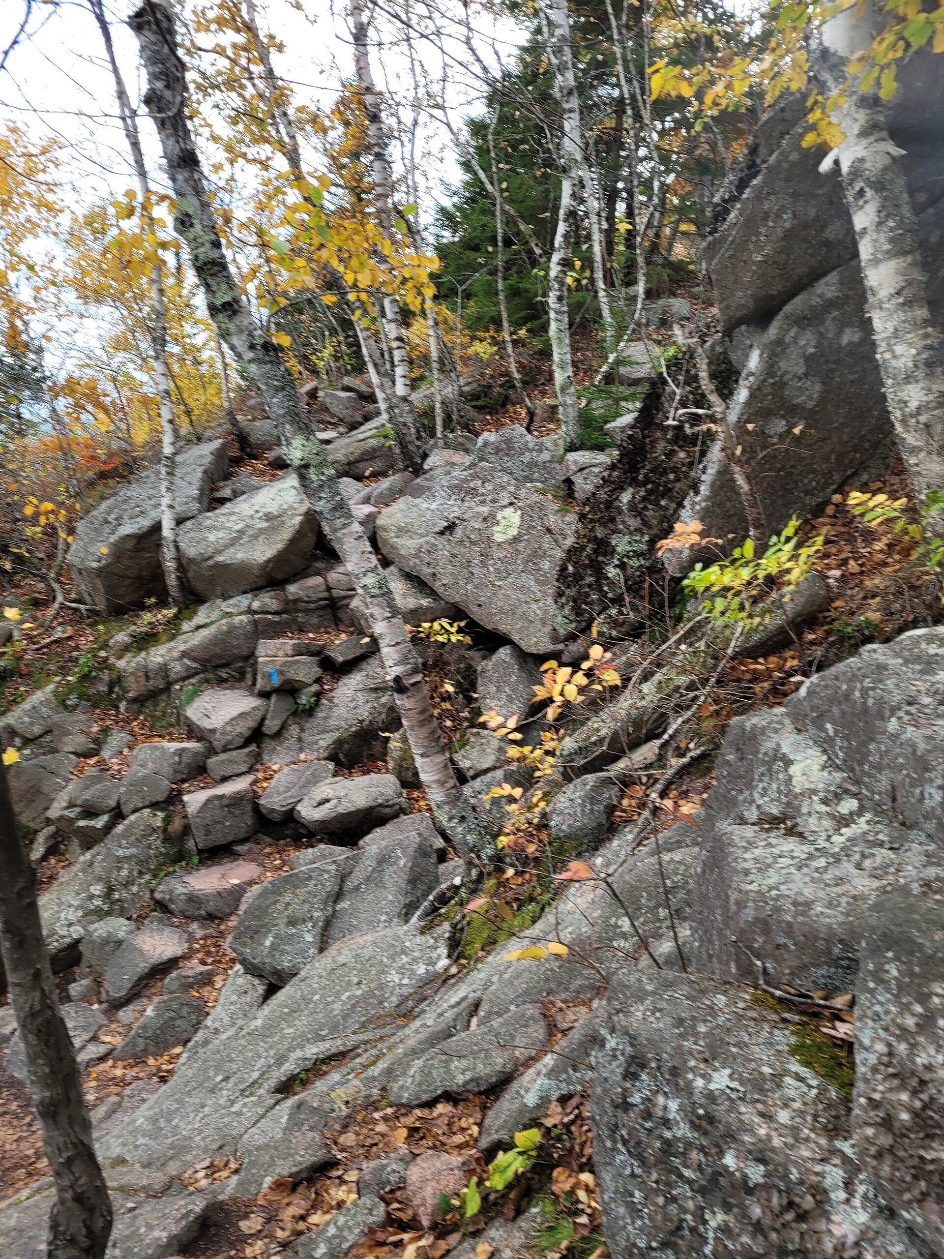
Over a thousand feet of gain in under a mile, up the open east face of Champlain on a ladder of iron rungs, handrails and stone steps bolted to the cliff — ocean at your back the whole way, Frenchman Bay opening wider with every pitch. Come down the gentler North Ridge or Orange & Black to make the loop. Not for wet weather, small kids, or a fear of heights.
Closed mid-March–mid-August for nesting peregrine falcons (and by ice late Oct–April). Go up only — it’s a one-way climb. Start early for a quiet cliff.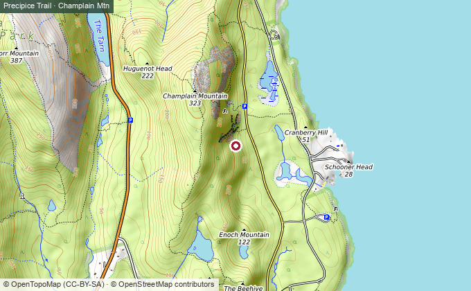
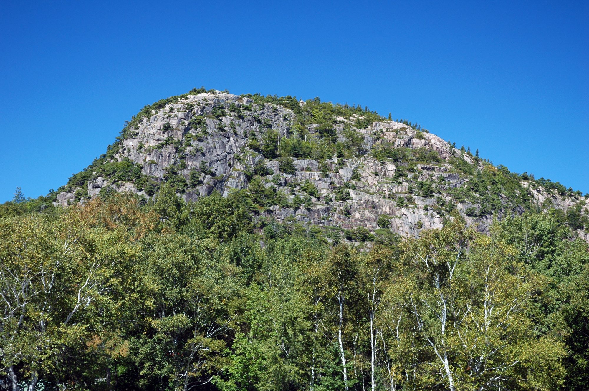
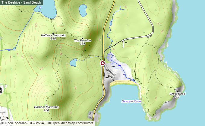
The Precipice in miniature — the same iron-rung thrill on a shorter cliff above Sand Beach, best hiked counter-clockwise so you climb the ladders rather than descend them. The natural fallback when peregrines have the Precipice closed, and a fine afternoon add-on when they don’t.
_3.jpg)
First light, then the coast
Sunrise from the highest point on the Eastern Seaboard, then a ledge walk down to the sea.
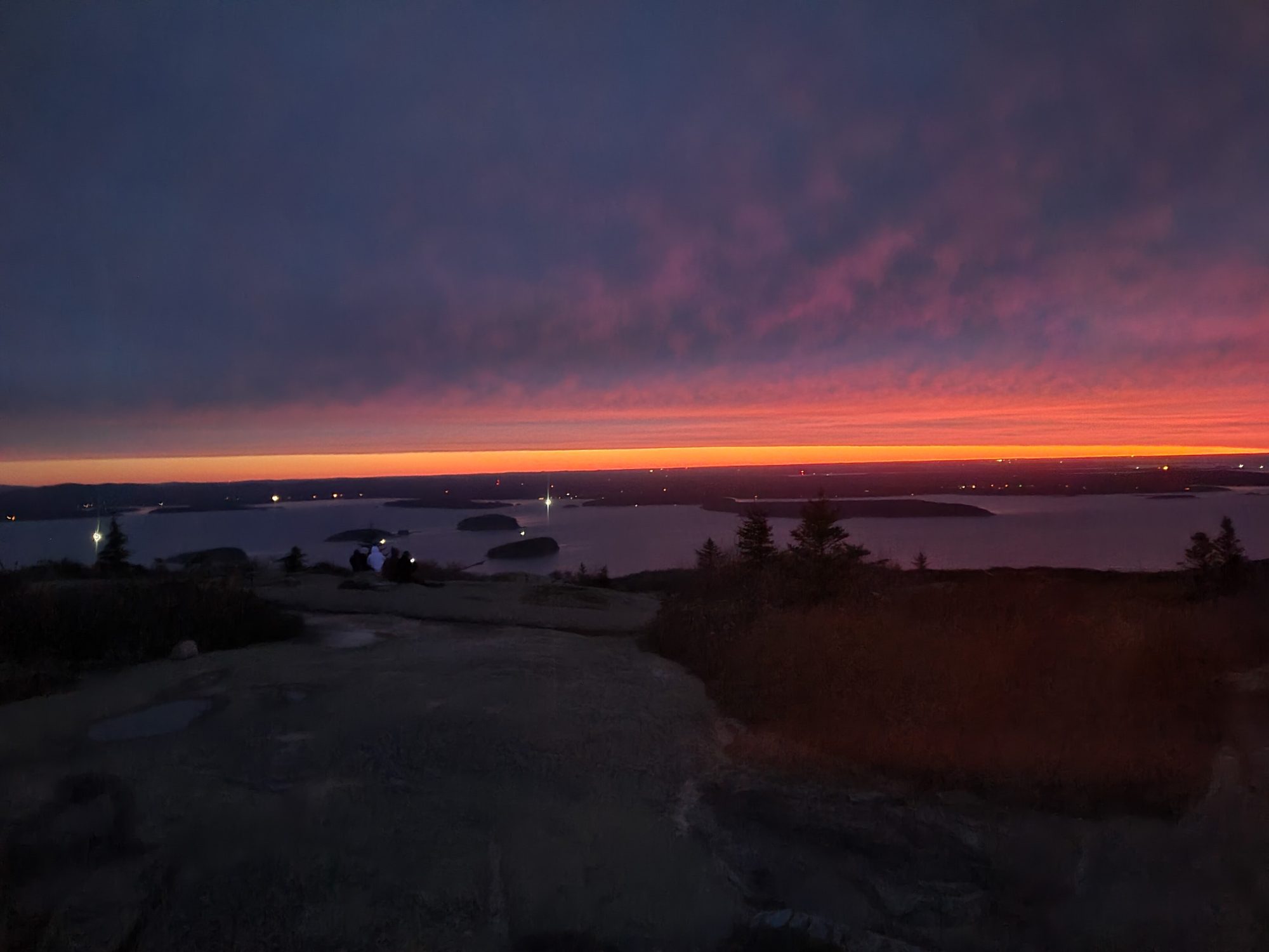
For much of the year Cadillac is the first place in the United States to see the sunrise — worth the alarm. Drive the summit road (reservation required) for the easy version, or climb the open, view-wide South Ridge Trail (~7 mi round trip past the Featherbed pond) to stand there on your own legs. Either way, bring layers; the summit wind is another climate.
Sunrise vehicle reservation sells out — book at release on recreation.gov, or take the South Ridge and skip the queue.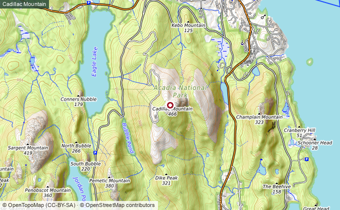
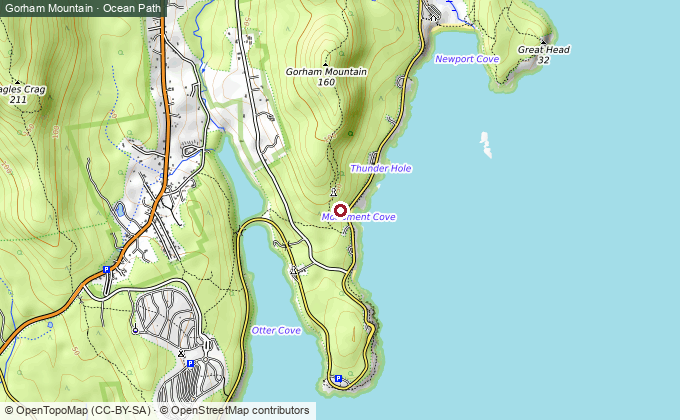
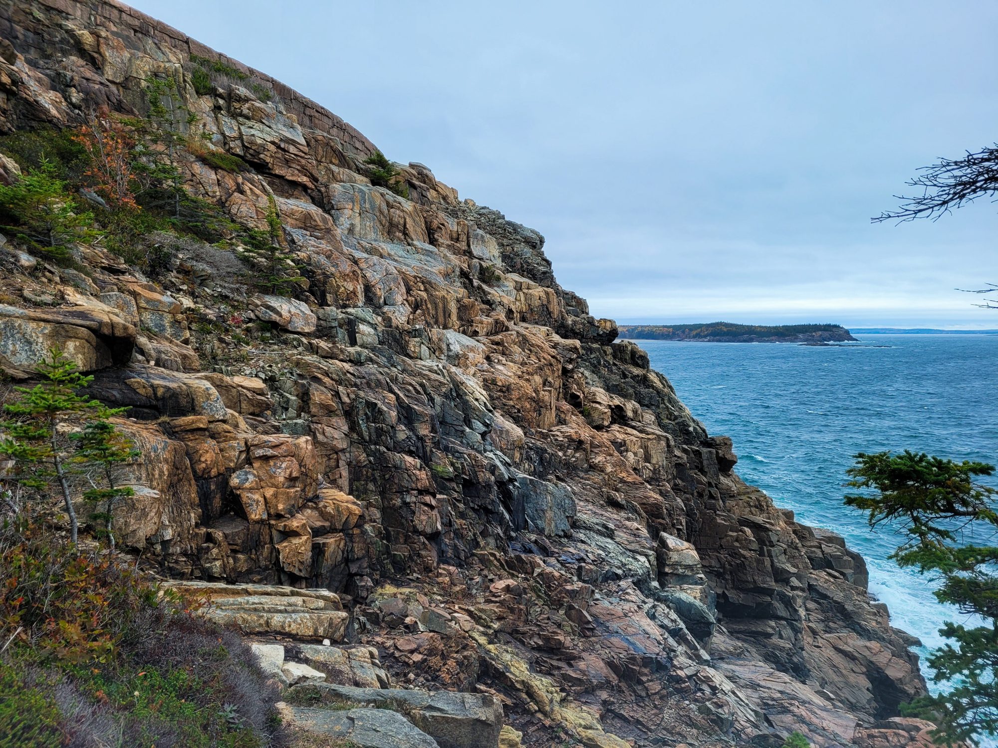
An afternoon of open pink-granite ledges with the Atlantic below, looping down to the shore and back along the Ocean Path past Thunder Hole, the Otter Cliffs, and Sand Beach. All the Acadia postcards in one gentle circuit — the soft landing after a sunrise start.

Bar Harbor → New Hope, PA
The long leg back — leave early, and consider one more Portland stop to cut it.
It’s the full ~470 miles / 8.5 hours home. Get on the road early; if the legs are tired, break it in Portland or Portsmouth again rather than driving it straight. A last lobster roll somewhere on Route 1 is the correct way to end an Acadia trip.
If you have more time on the island
Acadia Mountain (west side, ~2.5 mi) — the best view of Somes Sound, the only fjard on the U.S. East Coast; Bass Harbor Head Light for sunset; and the Schoodic Peninsula — Acadia’s quiet mainland half, an hour’s drive and a fraction of the crowds. Any of them slots in if you trade a driving day for a fourth on the island.
Two days in the car for three on the island — and a cliff, a sunrise, and a bowl of popovers that make the arithmetic work.