Three days in the High Peaks
A basecamp weekend out of Lake Placid. Ease in on Balanced Rocks, spend the middle day on the Indian Head & Fish Hawk Cliffs loop above Lower Ausable Lake, and finish on soft legs up Whiteface — six of the region’s best views with under an hour of driving between any two trailheads.

- Basecamp
- Lake Placid / Keene Valley — one hotel, three days
- Anchor
- Indian Head & Fish Hawk Cliffs — 11-mile loop, Day 2
- On foot
- ~17–20 miles across three days
- Driving
- Under 60 min between every trailhead
- Book ahead
- AMR reservation (Day 2) · Whiteface Highway toll (Day 3)
- Season
- Best late Sept–mid Oct for foliage; Whiteface Highway open mid-May–mid-Oct
Three of these trailheads — Balanced Rocks, Cobble Lookout, Cascade — are free DEC forest-preserve parking. The two that cost you:
- Whiteface Veterans’ Memorial Highway — $20 / vehicle toll (run by ORDA; not covered by the Empire Pass).
- Indian Head / AMR — no fee, but a free reservation is mandatory May 1–Oct 31 (hikeamr.org). It’s private reserve land, so the Empire Pass doesn’t apply here either.
The NY Empire Pass ($80/yr) buys unlimited day-use at most state parks and DEC areas — a great deal if you’re pairing the High Peaks with the state-park gorge hikes elsewhere in NY (Watkins Glen, Letchworth, Minnewaska — ~$10 each). For this Adirondack weekend on its own, it pays off on none of the stops.
Calibrate the legs
An underrated summit to find your stride, then an optional big-view stroll.
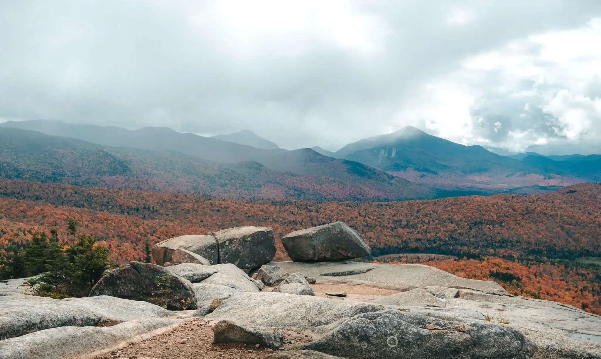
Two glacier-left boulders balanced on the edge of a bald summit, with your first wide-open panorama of the High Peaks. One of the most underrated hikes in the range — big reward, honest effort.
Trailhead off Route 73; download the AllTrails map — the turn is easy to miss.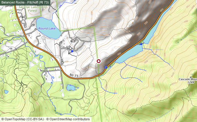
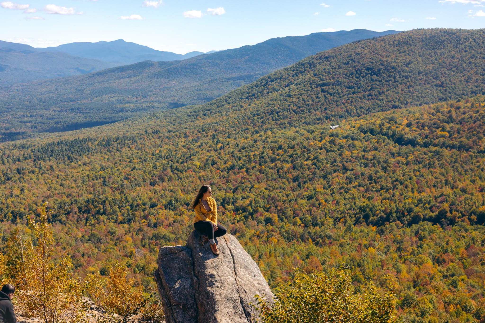
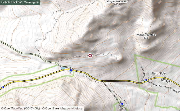
If the legs have more in them: a nearly flat walk to a High Peaks view that costs almost nothing. Best foliage payoff on the trip per step taken.
Indian Head & Fish Hawk Cliffs
The reason for the trip — a full day out to the finest overlook in the Adirondacks.
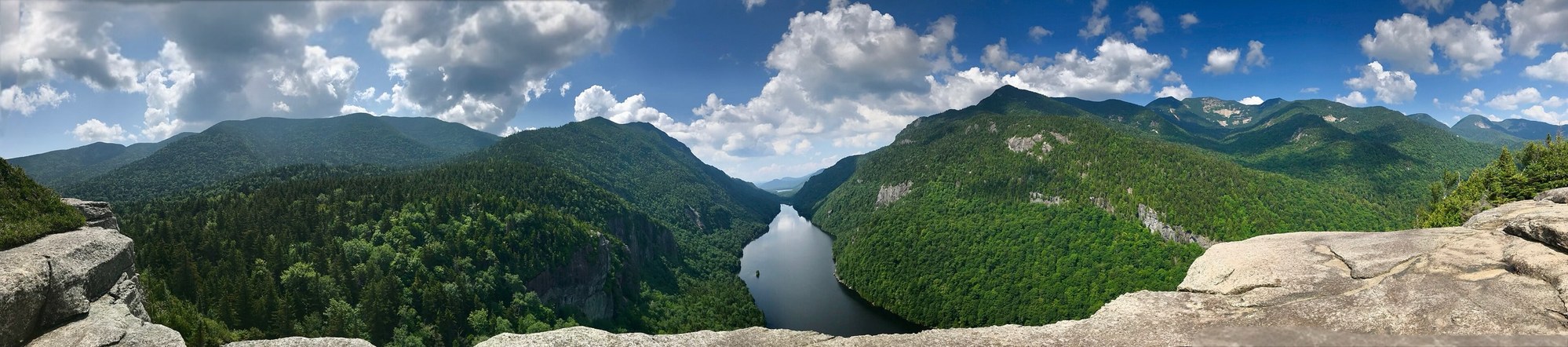
The cliff-edge view down the length of Lower Ausable Lake, hemmed by mountains on both sides — the shot people mistake for a Norwegian fjord. Fish Hawk Cliffs is a quieter second overlook a few minutes on. A long, rewarding day; save it for good weather.
Permit required May 1–Oct 31 — free AMR reservation at hikeamr.org, but slots are limited. Book ahead; park at the AMR / St. Huberts lot.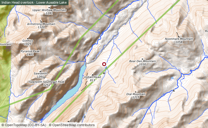
Summit finish, soft legs
Drive most of the way up a top-five peak — a big view to end on without a big climb.
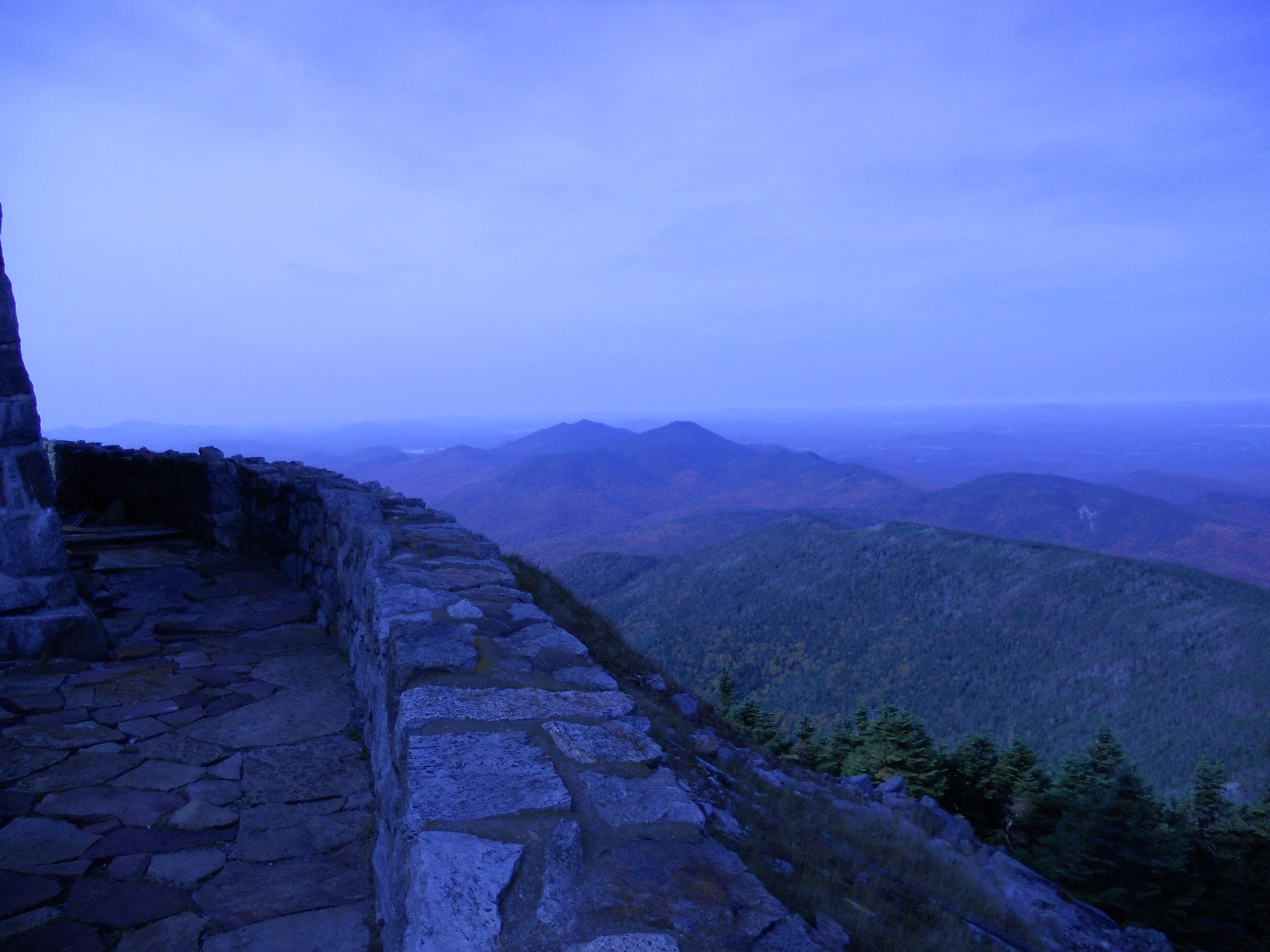
Drive the Veterans’ Memorial Highway nearly to the top of New York’s fifth-highest peak, then a short stone-staircase walk to a full panorama. The gentlest way to stand on a High Peak — perfect for a day-three that still has a drive home in it.
$20 / vehicle toll · highway open mid-May–mid-Oct, 8:45am–5:30pm.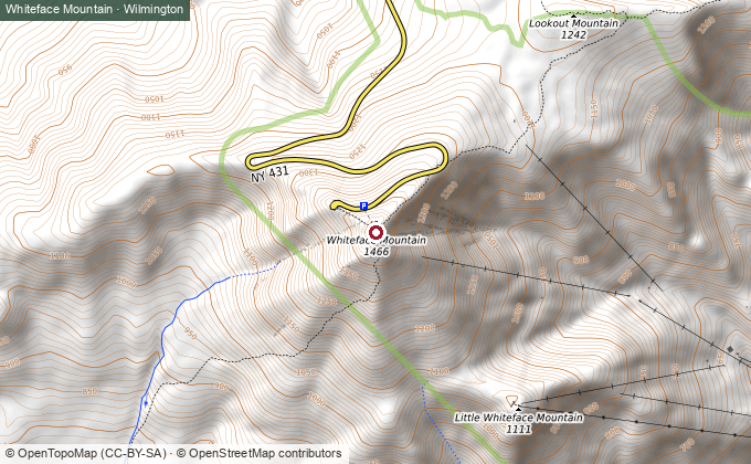
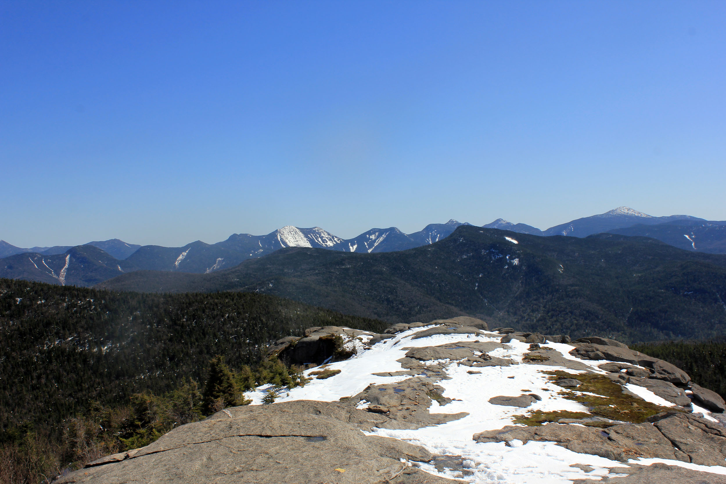
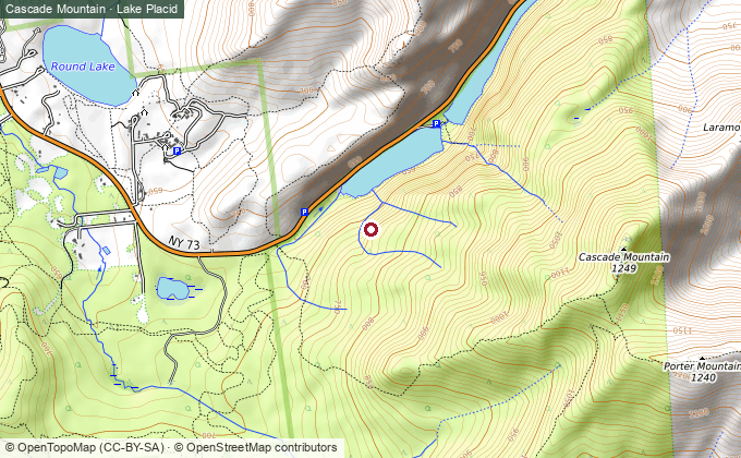
Rather bag a real 46er? Cascade is the “easiest” of the High Peaks — a genuine climb to a bare, 360-degree summit, trailhead ten minutes from town. Arrive early; the lot fills.

If you add a fourth day
Mount Marcy — the state high point at 5,344 ft, a 14.8-mile day that earns its own slot rather than crowding another. And Chimney Mountain (Indian Lake) — caves and stone crevasses, ~1 hour southwest — a good change of character if you want to break from the summit-view rhythm.
Six views, one hotel, and a middle day worth building the whole trip around.