Two nights under the darkest sky in the East
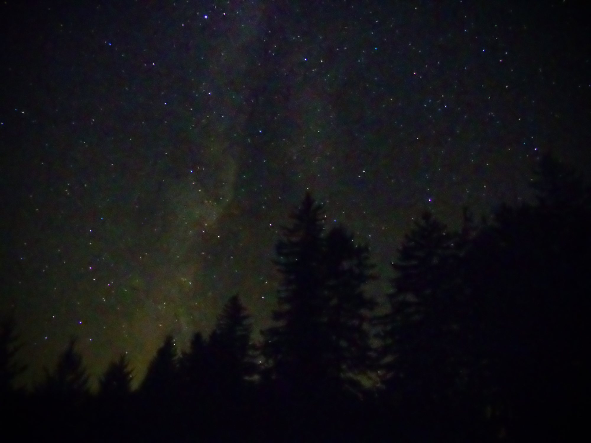
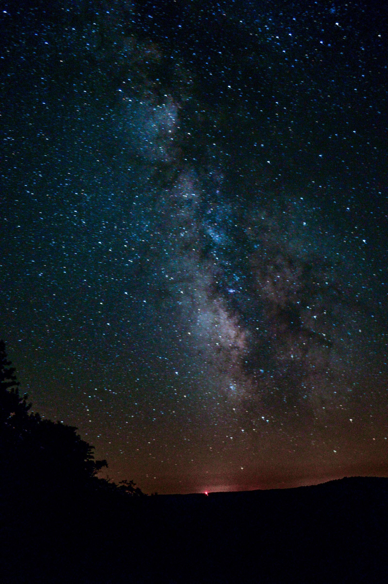
Potter County calls itself “God’s Country,” and the reason is overhead. Susquehannock State Forest wraps Cherry Springs — a Gold-tier International Dark Sky Park with a Bortle class ~2 sky, dark enough that on a clear, moonless night the Milky Way throws a shadow. This one asks nothing of you but a clear forecast: no backpack, no permit, no cold ground. Sleep in a warm bed, spend the days hiking green plateau forest, and drive out to the dark field each night for the stars.
- Where
- Susquehannock State Forest & Cherry Springs, Potter County, PA — “God’s Country,” the PA Wilds
- The trip
- A summer dark-sky weekend — three days, two nights, from a warm base. No backpack required.
- The sky
- Cherry Springs — Bortle ~2, a Gold-tier International Dark Sky Park; the Milky Way casts a shadow
- Days
- Family-friendly day hikes — plateau vistas, beaver meadows, a summer meadow overlook
- Nights
- Cherry Springs’ free Night Sky Public Viewing Area — drive out, look up, drive home
- Base
- A hotel in Bradford, or closer lodging in Coudersport / Galeton — see below
- When
- Summer — warm nights, the galactic core high after dark; aim for the week around new moon
Checking the next few nights over the plateau…
A dark-sky trip lives or dies on the clouds — check before you commit to the drive, and plan the date around the new-moon window above. Full night-sky forecast → The Star Window · PA · hour-by-hour → tonight’s events.
Weather & air-quality data by Open-Meteo (air via CAMS) · CC BY 4.0 · moon phase computed on-device · Bortle ~2 is a fixed property of the site.
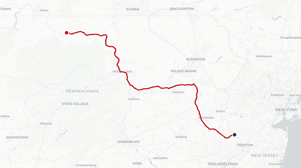
This is a trip you can do from a comfortable base — the forest does the work, you just drive to it after dark:
- The nearest real lodging hub is Bradford. Chains like the Comfort Inn Bradford are the easy, well-stocked option — a proper bed, breakfast, and a town with restaurants. Budget the drive, though: Bradford to the Cherry Springs field is ~55 miles, about 1 hr 15 each way, so a night under the stars means a late drive back in the dark.
- The free viewing is nightly, no reservation. Cherry Springs’ Night Sky Public Viewing Area is open to everyone, every clear night — just show up before dusk, keep to red light only, and let your eyes adapt. Perfect for a hotel-based evening.
- Want to stay till dawn? The reservable Overnight Astronomy Observation Field (a small nightly fee, book through the DCNR) lets serious dark-adapters camp right on the field — no drive home at all.
Bring warm layers whatever you choose: the plateau is open and 2,300 ft up — it gets cold on the field even in July.
If the ~1 hr 15 return from Bradford sounds long after midnight, base closer: Coudersport (~20 min from the field) and Galeton (~35–40 min) both have small inns and motels on US 6. Fewer amenities than Bradford, but they cut the dark drive home to a fraction — the difference between one late night and two easy ones. Coudersport also puts you closest to the day-hike trailheads below.
A concrete pick a little further east on US 6: the family-run Colton Point Motel (4643 US 6, ~12 mi west of Wellsboro, at Ansonia) — eight acres with a small lake, fire pits, and breakfast, around $150–160 a night in high summer. It’s the longest field drive of the close bases (~50 min to Cherry Springs), but it buys something the others can’t: the turn-off to Pine Creek Gorge — the PA Grand Canyon — and the flat Pine Creek Rail Trail are two miles from the door, which upgrades your last morning (see Day 3).
A sea of green under an ocean of dark
What makes this quiet corner of Pennsylvania the best dark sky on the East Coast.
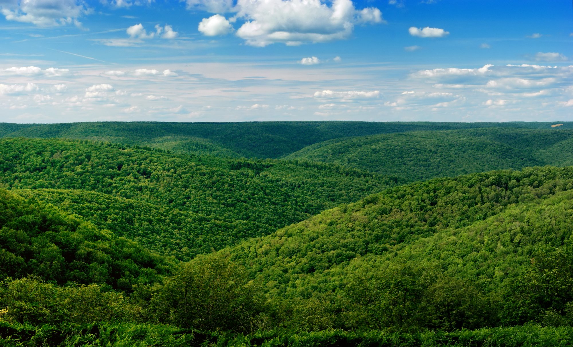
Cherry Springs sits on a 2,300-foot plateau in the middle of the largest block of dark, roadless forest in the northeast — no city glow for sixty miles in any direction. That’s the whole trick: the forest is the buffer, and Cherry Springs is the clearing at its heart. By day this is a sea of green, an unbroken canopy rolling over the dissected Allegheny Plateau; by night it’s one of the few places east of the Mississippi where you can see your own shadow cast by starlight. VisitPA ranks it the state’s premier stargazing spot, full stop.
The days are yours to fill from the trailheads scattered through the Susquehannock Trail System (STS) — a single orange-blazed loop of ~85 miles, PA’s oldest backpacking trail, built 1966–69 along old CCC fire trails and railroad grades. You won’t walk all of it; you’ll cherry-pick its best short segments as day hikes, then trade your boots for a reclining chair after dark.
Check in, then chase the dark
An easy arrival day — settle at your base, an early-evening leg-stretch, then out to the field for your first sky.
Drive in, check into your base, and shake off the road with a short walk. If you’re basing in Coudersport or Galeton, the Susquehannock Trail System is minutes away for a gentle evening mile or two through the hardwoods. Then the main event: get to Cherry Springs before dusk so you can find the field and lay out while there’s still light.
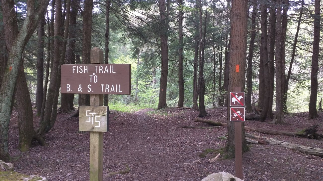
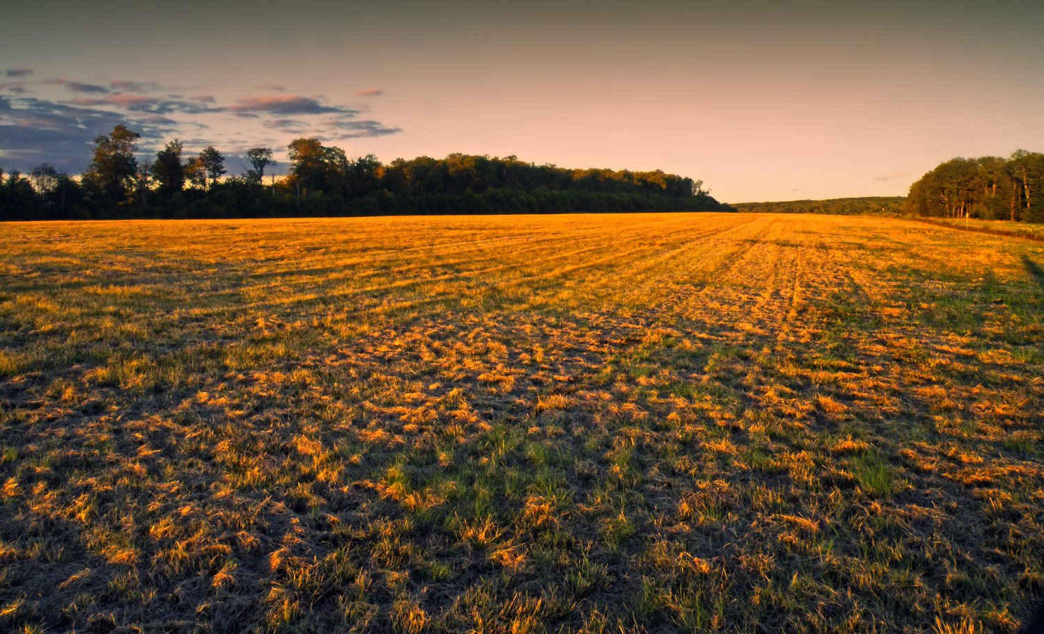
The free public field is built for exactly this: a horizon-to-horizon clearing with a strict red-light-only, no-white-light-after-dusk rule that everyone actually keeps. Arrive at dusk, let your eyes adapt a full twenty minutes, and watch the summer Milky Way stand up out of the south — the galactic core, the Great Rift, the Andromeda smudge all naked-eye. First night is the shakedown: you’ll know exactly what to bring tomorrow.
Honest note: from a Bradford base this is a ~1 hr 15 drive home in the dark. Trade off driving after a long day, or shorten it with a closer base (above).The finest overlook, then the darkest field
The day the trip is built around — earn a plateau vista on foot, rest up, then a second, dialed-in night under the stars.
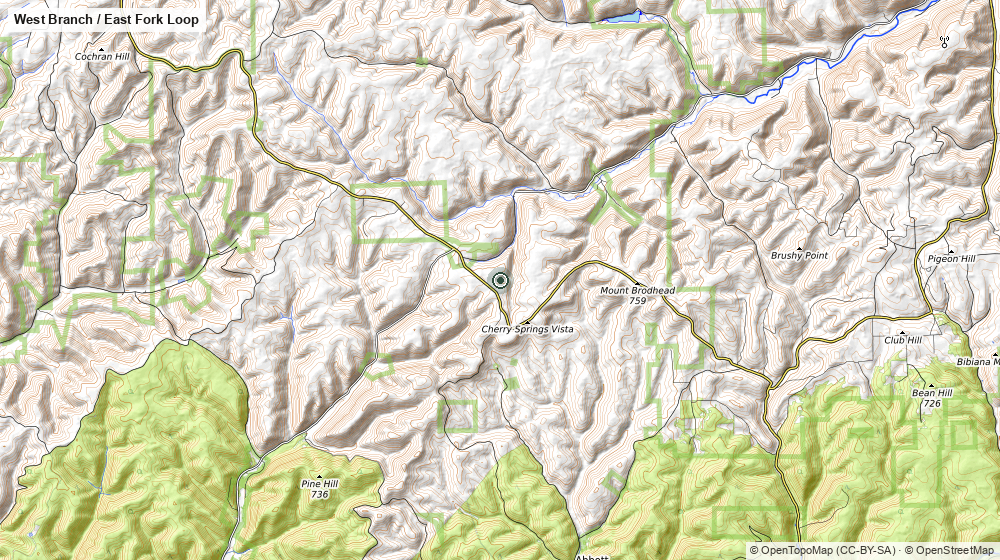
Drive to the East Fork trailhead and day-hike out to Boone Run Vista, a wide plateau overlook off a pipeline swath — one of the finest views in the whole state forest, and a rare one on a trail that hoards them. There’s one honest pitch to earn it (the ~600-foot climb out of Hockney Hollow), but as an out-and-back you set your own turnaround — a very doable half-day for a family with a teenager. Pack a lunch for the rim.
Detour on the way in to the Ford Hollow Shelter — an isolated three-sided lean-to with reliable flowing water, a good shady lunch stop and a taste of the backcountry without carrying it.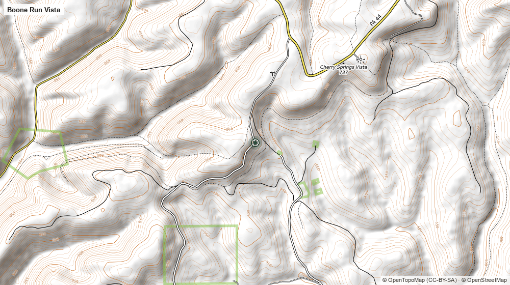
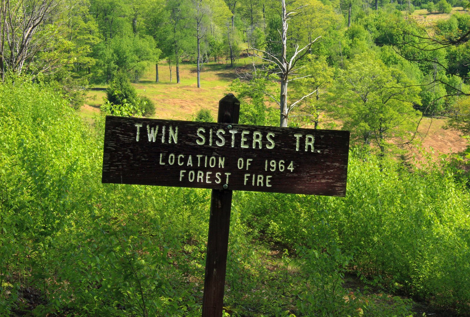
Back at base for a real dinner and a rest, then out again — because tonight you know the drill. Time it for the darkest window and give it the full evening.
Second night is the one you came for. If the forecast is clear and it’s near new moon, this is as dark as the East gets: the Milky Way vivid enough to cast a faint shadow, meteors on any summer night, and — if you reserved the Overnight Astronomy Observation Field — no drive home at all, just a sleeping bag on the plateau and the core wheeling overhead till dawn.
Check the park calendar for star-party nights and the separate free public viewing area. Reserve the overnight field ahead — it fills on new-moon weekends.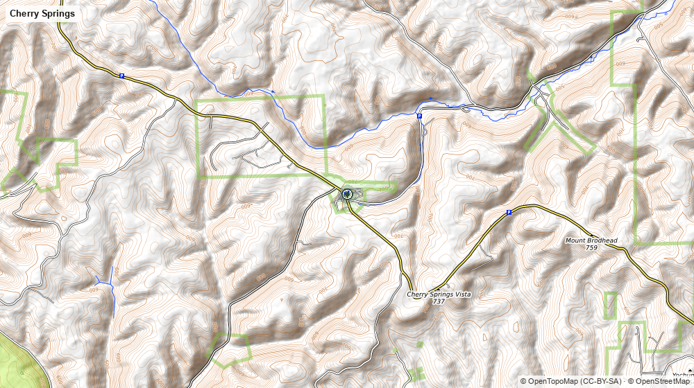
An easy last morning, then home
Nights like that earn a slow start. One gentle hike, or a long breakfast, then the drive out.
For a soft finish, walk a piece of the West Branch Trail through open beaver meadows — a string of dams, ponds and wet grass unusual for the plateau, and the most wildlife-rich, kid-friendly corner of the forest: beaver sign, elk tracks, herons. Then point the car home. Real food and coffee wait in Coudersport or Galeton on the way out.
Based at the Colton Point Motel? Swap the meadows for the PA Grand Canyon: the west-rim overlooks at Colton Point State Park are a short drive up from Ansonia, and the flat Pine Creek Rail Trail rolls straight into the gorge from the US 6 trailhead two miles from the door — a canyon morning before the drive home.If you want more
Reserve the field both nights — if the forecast is clear and you don’t mind roughing it, skip the hotel drives entirely and sleep on the Cherry Springs Overnight Astronomy Field for both nights. Star parties — Cherry Springs hosts organized astronomy weekends (the Black Forest Star Party among them); check the calendar before you pick a date. The full STS — the whole ~85-mile loop is a 4–8 day thru-hike from Cross Fork or the Northern Gateway, all of it under the same dark sky, if you ever want to earn it on foot. Nearby by day — the PA Lumber Museum on US 6 and the Austin Dam ruins fill a rained-out afternoon.
Green miles by day, a warm bed to come back to, and two nights under a sky so dark the Milky Way throws a shadow.